November 19, 2026
Discover GeoReach, a location intelligence platform for geographic mapping, demographic insights, audience targeting and smarter territory planning.
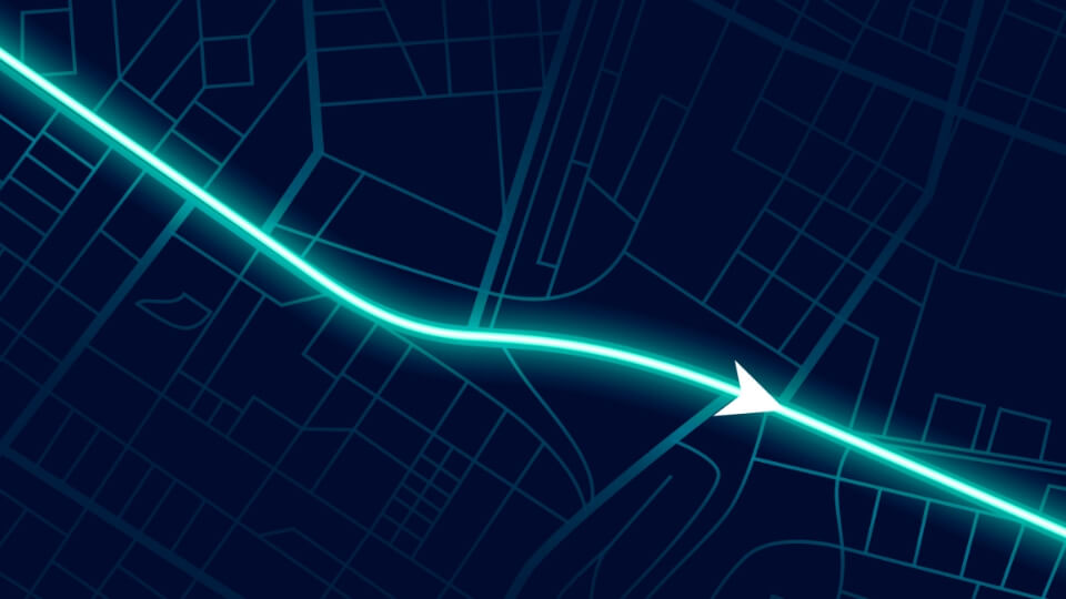
Turning geographic data into smarter business decisions through location intelligence.
In business, knowing where to find your customers can be just as important as knowing who your customers are.
A marketing campaign might have the right message, the right budget and the right audience profile, but if it is directed towards the wrong geographical areas, much of that investment can go to waste. Similarly, a field sales team might spend hours travelling between locations without a clear understanding of territory potential. Retailers may struggle to evaluate new markets, and service providers may find it difficult to identify the areas where their services are most needed.
These challenges have something in common: a lack of meaningful geographic intelligence.
This is where GeoReach comes in.
GeoReach is a location intelligence platform designed to help businesses understand geographical areas, explore demographic characteristics, identify relevant audiences, define territories and make more informed operational decisions.
Rather than relying solely on assumptions, disconnected spreadsheets or traditional mapping tools, GeoReach brings geographic information into a connected workspace where businesses can explore locations and turn spatial insights into actionable decisions.
A map tells you where something is. Location intelligence helps you understand why that location matters.
Consider two neighbourhoods within the same city. They might appear similar geographically, but their population characteristics, household composition, housing patterns and commercial potential could be very different.
For a business planning its next marketing campaign, these differences matter.
GeoReach aims to bridge this information gap by combining interactive geographic mapping with demographic and census-based insights. Businesses can explore postcodes, examine available area-level information and use that context to make better decisions about where to focus their efforts.
Depending on the availability and licensing of connected datasets, this intelligence can include:
The objective is straightforward: make geographical information useful for everyday business decisions.
At the heart of GeoReach is its interactive geographic workspace.
Users can search for postcodes, explore locations and select relevant areas directly on a map. Instead of treating geographical information as a static reference, GeoReach makes it an interactive part of the decision-making process.
Businesses can use the map to explore potential territories, identify relevant geographical areas and organise locations around their operational requirements.
The platform’s territory exploration experience is designed to support workflows such as postcode selection, area discovery and geographical coverage planning.
This creates opportunities for businesses to move beyond looking at individual addresses and start understanding entire service areas, neighbourhoods and markets.
Location intelligence has applications across a wide range of industries. GeoReach is designed with organisations in mind that need to understand local markets, reach specific audiences or manage geographically distributed operations.
Marketing agencies often need to identify the right geographical areas for their clients’ campaigns.
Whether planning leaflet distribution, local advertising or targeted outreach, understanding the characteristics of an area can help agencies make more informed campaign decisions.
GeoReach can help agencies explore relevant postcodes, organise campaign territories and bring demographic context into their planning process.
Property markets are inherently geographical.
Understanding the characteristics of an area can provide valuable context when evaluating properties, researching local markets or identifying potential customers.
GeoReach provides a geographic workspace that can support location-based market exploration and property research.
Choosing where to open a new outlet or expand an existing business requires more than simply finding an available property.
Businesses need to understand the surrounding market, geographical coverage and characteristics of the communities they intend to serve.
GeoReach can help retailers and franchise operators compare potential trading areas and organise their location-based planning.
For distribution businesses, geographical coverage is central to daily operations.
Identifying delivery territories, organising postcode areas and planning distribution campaigns can become complicated when information is spread across multiple spreadsheets and mapping applications.
GeoReach aims to bring these geographical planning activities into a more connected environment.
Businesses offering services such as roofing, plumbing, cleaning, landscaping and property maintenance often operate within defined geographical territories.
Understanding where potential customers are concentrated can help these businesses plan their service coverage and prioritise outreach.
GeoReach can support the exploration of service areas and location-based opportunities.
Market research and business development frequently involve identifying areas with particular characteristics or commercial potential.
By bringing geographical and demographic context together, GeoReach can support more structured market exploration and territory planning.
GeoReach is built around a straightforward workflow.
Step 1: Explore a location
Start by searching for a postcode or exploring a geographical area. Use the interactive map to understand the location and its surrounding context.
Step 2: Define your territory
Select the geographical areas relevant to your business objectives. Organise postcodes and explore the geographic filters and datasets available to your organisation.
Step 3: Plan your next move
Use the selected territories and available insights to inform marketing campaigns, distribution plans, market research or operational workflows.
The idea is to make the journey from geographical discovery to business planning simpler and more connected.
Understanding where opportunities exist is only one part of the equation. Businesses that operate across multiple locations also need to understand what is happening on the ground.
Field operations, territory assignments and operational progress all have a geographical dimension.
GeoReach’s broader product direction includes GPS tracking and field operations, with the aim of connecting geographic planning with operational activity.
This creates a foundation for organisations looking to bring territory management, routes and field activity into a more integrated location intelligence environment.
Specific tracking capabilities and availability will depend on the product rollout.
Location intelligence is only as useful as the information behind it.
Different datasets may have different geographical resolutions, coverage periods, licensing conditions and update frequencies. A postcode-level dataset, for example, may not provide the same level of detail as an output-area dataset.
GeoReach recognises the importance of transparency in geographic data.
The platform’s approach is to make relevant information about data sources, geographic resolution, coverage dates and limitations clear, helping users understand what the available information can and cannot tell them.
Public previews also use demo-safe information rather than exposing private customer or field-worker data.
The goal is not simply to display more data, but to help businesses make decisions using information they can understand and evaluate.
Businesses are increasingly expected to make decisions based on evidence rather than intuition.
Customer data, market research and operational analytics have already transformed how organisations approach business planning. Geographic intelligence adds another important dimension to this process: understanding where opportunities exist.
GeoReach is being developed around this opportunity.
By bringing interactive mapping, demographic intelligence, territory exploration, audience targeting and campaign planning together, GeoReach aims to make location intelligence more accessible and practical for organisations of different sizes.
Whether you are planning a local marketing campaign, evaluating a new trading area, organising distribution territories or researching a potential market, understanding the geography behind your business decisions can make a meaningful difference.
The next opportunity might not be somewhere far away. It might be in a postcode you haven’t explored yet.
Know Your Market. Reach the Right Audience.
Discover GeoReach and explore a smarter approach to location intelligence.
// Article tags